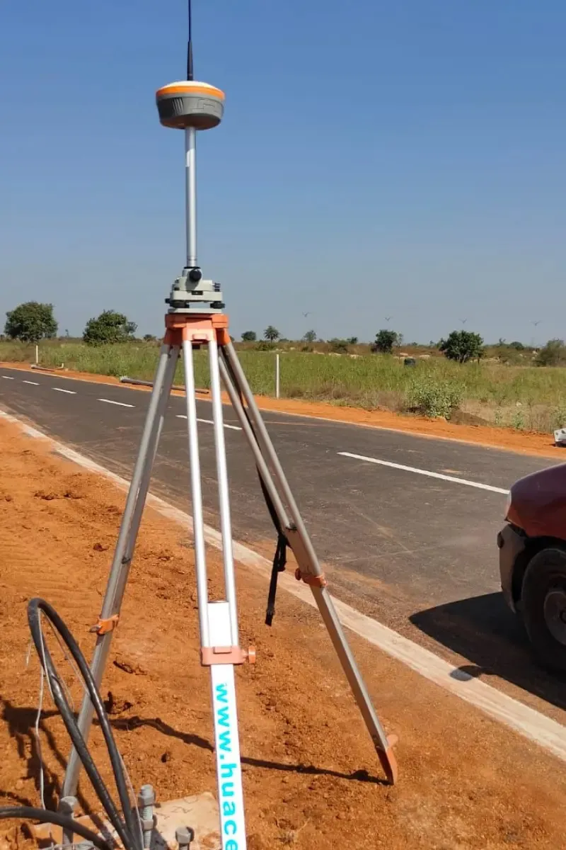
Topographical Land Survey
- Open Plot Survey
- Digital Survey
- Agriculture land survey
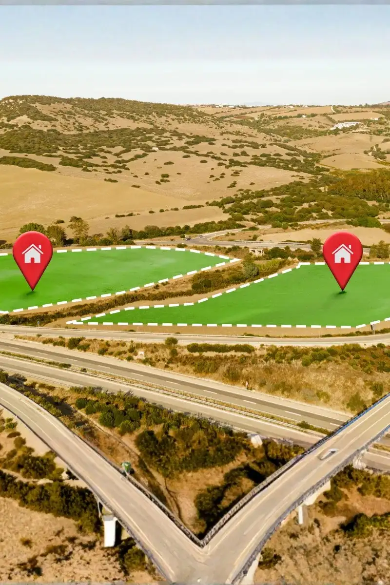
Land Boundary Demarcation (Tipon Survey)
- Layout Plot demarcation
- Encroachment Detection
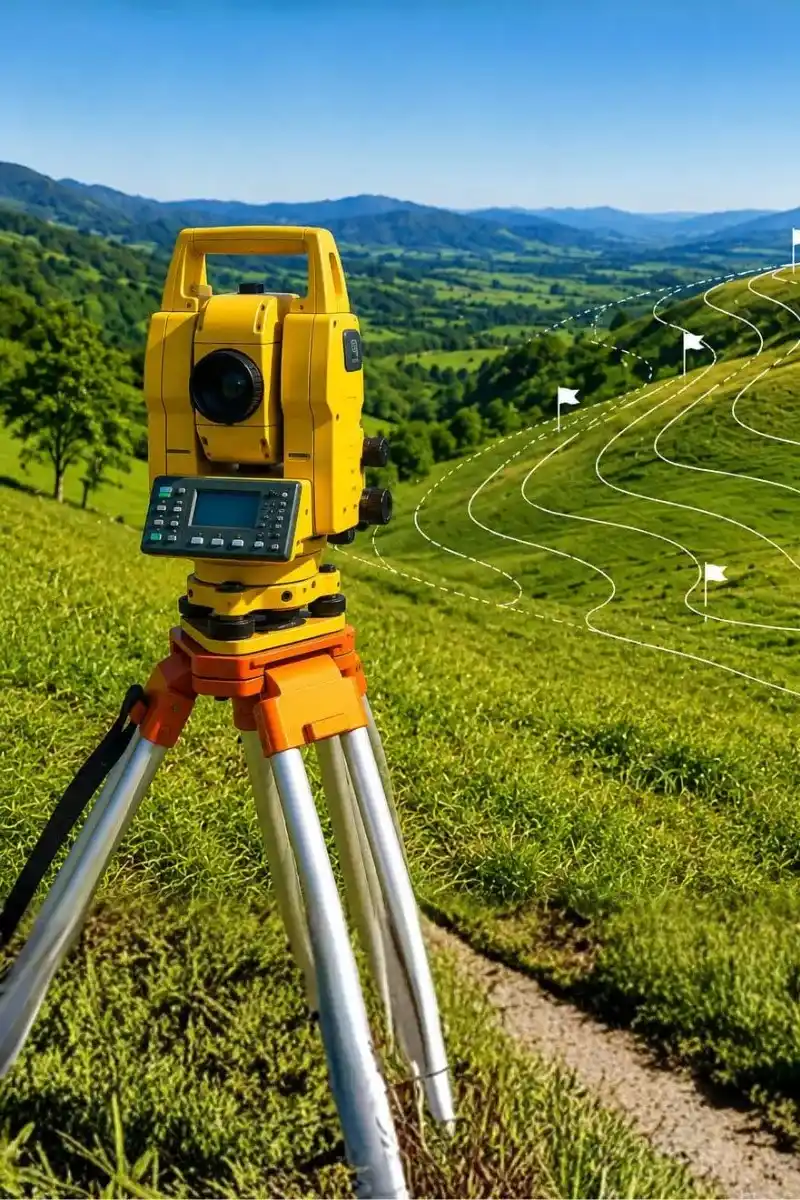
Contour Survey & Cut–Fill Analysis
- Hill land contour survey
- Open land contour survey
- Existing Ground level
Building Survey
- Column Marking
- Building Layout Marking
- Excavation Marking
As-Built Survey
- Building As-Built Survey
- Industrial As-Built Survey
Drone Survey & Aerial Mapping
- Aerial Photography Survey
- Drone Ortho video survey
GIS Mapping & Spatial Data Analysis
- Geo Referencing
- Digitization of Site Features
- Cadastral mapping
Utility Mapping & Underground Services Survey (GPR)
- Ground Penetrating radar survey
- Pipelines Mapping
- Cable Mapping
DPR Survey & Feasibility Studies
- Railway DPR
- Pipeline DPR
- Road DPR
Layout Planning Survey
- HMDA layout Planning
- DTCP layout Planning
- Farm land layout Planning
Hydrographic Survey
- Ponds Bathymetric survey
- River and Lake Bathymetric survey
- Sea-Bathymetric Survey
LiDAR Survey


.webp)